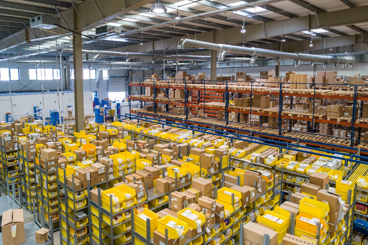
Transform any camera feed, video stream, or spatial image into actionable intelligence. Featuring sub-pixel grid calibration, real-time object tracking, and movement prediction tailored for warehouses, robotics, and smart facilities.
Click through the application tabs below to explore the exact spatial intelligence pipeline.
Choose a source to upload or connect media to get started with spatial calibration.
Use a photo or high-res screenshot from your device.
Use an MP4, MOV, or AVI video recording.
Connect your webcam, IP camera, or USB sensor.
Connect an RTSP, WebRTC, or HTTP stream URL.
A modular spatial stack designed to bridge raw video pixels with precise spatial coordinates, enabling autonomous machines and human operators to share the same operational map.
Instantly map camera perspectives into metric coordinate grids. Calibrate row/column dimensions for precise asset tracking and spatial analytics.
Lightweight object detection optimized for edge devices and server clusters. Run NanoDet, YOLOv8, or custom models with sub-30ms latency.
Track persistent object IDs across frames and forecast short-term trajectories based on historical motion vectors and velocity profiles.
Generate comprehensive analytics, zone occupancy heatmaps, and throughput metrics ready for export or webhook integration.
Seamlessly connect USB webcams, RTSP IP cameras, video files, or high-res spatial snapshots with robust payload limits.
Built with secure local processing pipelines, zero external telemetry leakage options, and robust error boundaries for industrial plants.